Travel for 2009 previous log is at Travel 2009 and to review last years trip got to Travel 2008
Utah National Parks
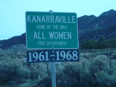
After arriving in Utah State we spent three days in Kannerville, Utah. It is about 25 south of Cedar City, Utah. We wanted to stay there because we would have the opportunity to visit some of the national parks in Utah. When we registered we found out that it had snowed 4 inches in the morning. It was cold outside, but there was no snow on the ground. This was quite a surprise for us! We had been wearing spring/ summer clothing for couple of months!
Bryce Canyon National Park:
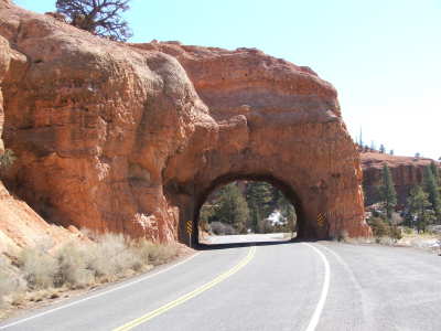
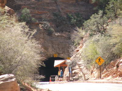
We saw interesting sights before we entered the park. We drove through a slight tunnel formed from rock.
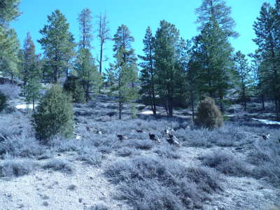
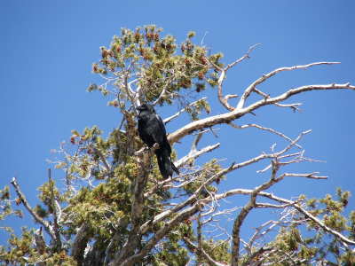
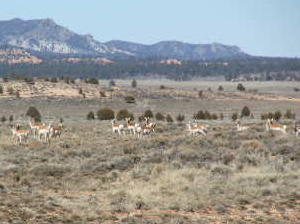
We saw signs of wildlife during our drive. We saw a raven at one of the panoramic viewpoints. We saw wild turkeys and pronghorn antelope on the side of the road. They were outside of the park’s boundaries.
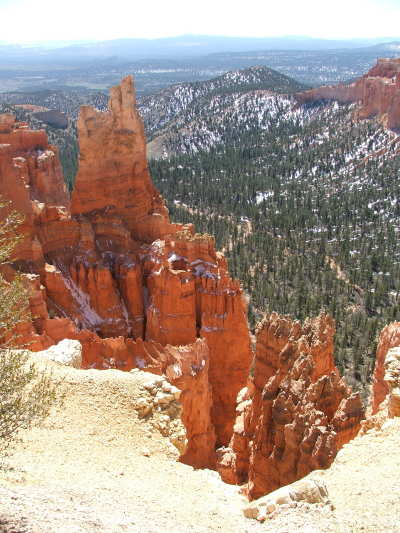
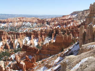
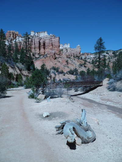
The first park we visited was Bryce Canyon National Park. We spent the day taking in the sights of getting to Bryce, as well as stopping at the different panoramic points within the park. Bryce was beautiful, especially with the dusting of snow on some of the hoodoos. Bryce is famous for its rock formations that consist of many different red rock spires and hoodoos. The rocks colors can also be pink, orange, yellow and beige. The colors change according to the sunlight on the rocks.
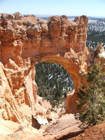
We took a hike outside of the park. It was to Mossy Cave. On the hike one could see some of the hoodoos.
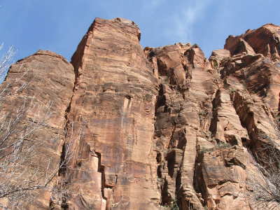
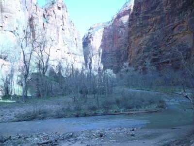
Zion National Park:
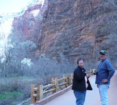
The second day we were in Kannerville Steve’s sister Connie and her husband joined us. We went to Zion National Park. Again, we drove around to take in some of the sights and went on a few short hikes. We hiked along the Virgin River. We also drove through the Zion Tunnel.
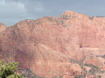
After lunch we drove to a section of Zion National Park that was closer to where we were staying. It is called the Kolob Canyons. As we were viewing the scenery, a storm came in. It started snowing on the rocks.
Moab bound:
The next day Steve and I left for a couple of days in Green River, Utah and then onward to Moab, Utah. We came to Moab to participate in the Easter Jeep Safari. We signed up for a couple of jeep runs. We also wanted to explore the national parks of Canyonlands and Arches.
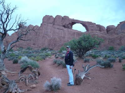
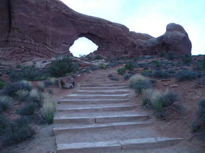
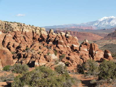
Arches National Park:
We made a couple of visits into the park. Moab was experiencing cooler weather than normal. One two of the days we explored the park, we experienced sunshine, rain, snow and sleet. One day after a jeep run, we took a hike to the Delicate Arch.
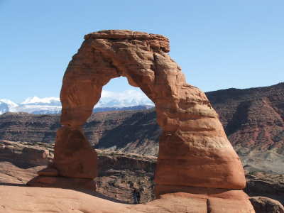
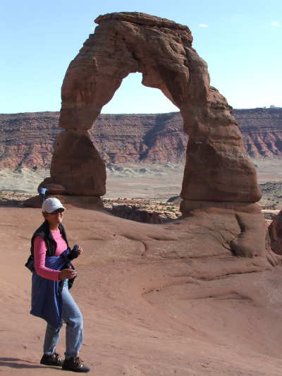
Arches National Park contains over 2000 arches.
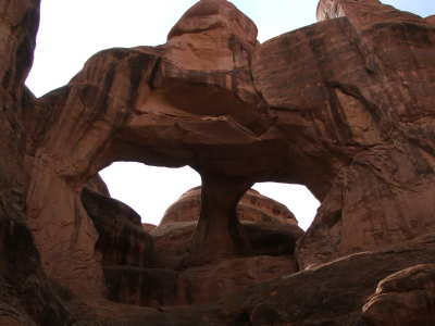
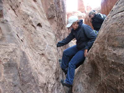
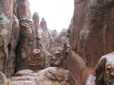
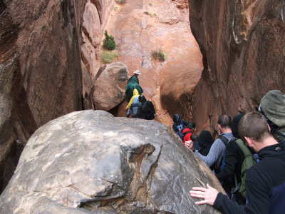
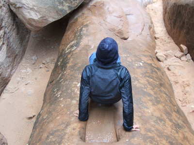
We signed up to go on a ranger led hike through the Fiery Furnace. What an experience! We had a group of about 28 people. The Fiery Furnace consists of a confusing maze of high sandstone. Not only do you hike though the sandstone, but you also scramble through the sandstone cracks on your hands and feet and also along narrow ledges.
These pictures show how we hiked through the canyon. When we got to the challenging rocks, it started to rain and sleet.
Canyonlands:
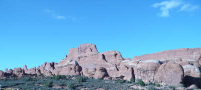
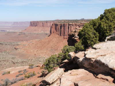
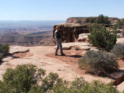
We experienced Canyonlands both on top of the canyons and near the bottoms of the canyons and the Colorado river Canyonlands is a landscape of canyons, mesa and buttes. It is divided into four districts. The one we visited was the Island in the Sky. We explored the park by foot and also in our jeep. Most of the time when we were exploring the bottom of the canyons, we were in 4 wheel drive.
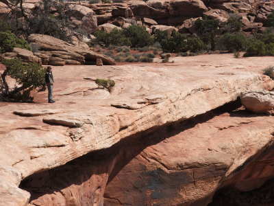
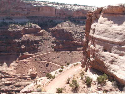
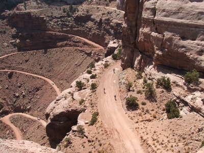
We explored the bottom of the canyon via the Potash Road. This road led us to the White Rim Road, which is a 100 mile drive going around the rim of the canyons. We only drove for a few hours and had lunch alongside the road. Steve had hoped to take the Shafer Road back up to the top of the canyon. It is approximately a six mile drive that consists of a narrow road, full of switchbacks which wind up a canyon wall. The trail was closed in the morning due to the snow that had fallen in the Moab area a few days before. After lunch we found it open, so we proceeded with the challenge. Nancy kept her eyes glued to the road ahead, so she would not have to look down into the canyon.
The White Rim Road and the Shafer Trail were once used by pueblo Indians, miners and cattle ranchers. In the 1950’s, there was uranium exploration done near the bottom of the canyons. Most of the uranium mining has ceased, but the mining roads still exist. The national parks utilize these roads and trails for 4 wheel enthusiasts and mountain bikers.
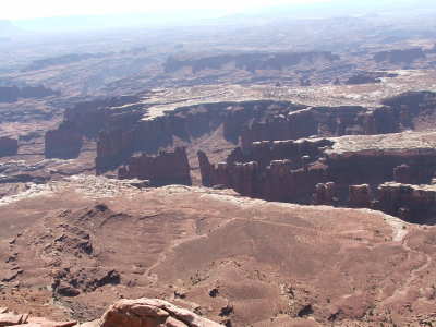
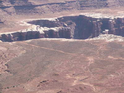
If you look closely in the foreground, you can see a white line. This is the White Rim Trail. It is the road that travels around the bottom of the canyon.
All the parks had there own beauty! They are well worth a visit more than once!
![]()
Webmaster: Steve Bagley